Streamline your TNRERA real estate registration with Anvation Drones’ expert aerial documentation services, ensuring compliance and precision. Check our sample document.
File Name: TNRERA_Sample.pdf
PDF Loading…
Delivery Products for all Different Goals of Life and Business.
Why Choose Our Drone Services for TNRERA Compliance?
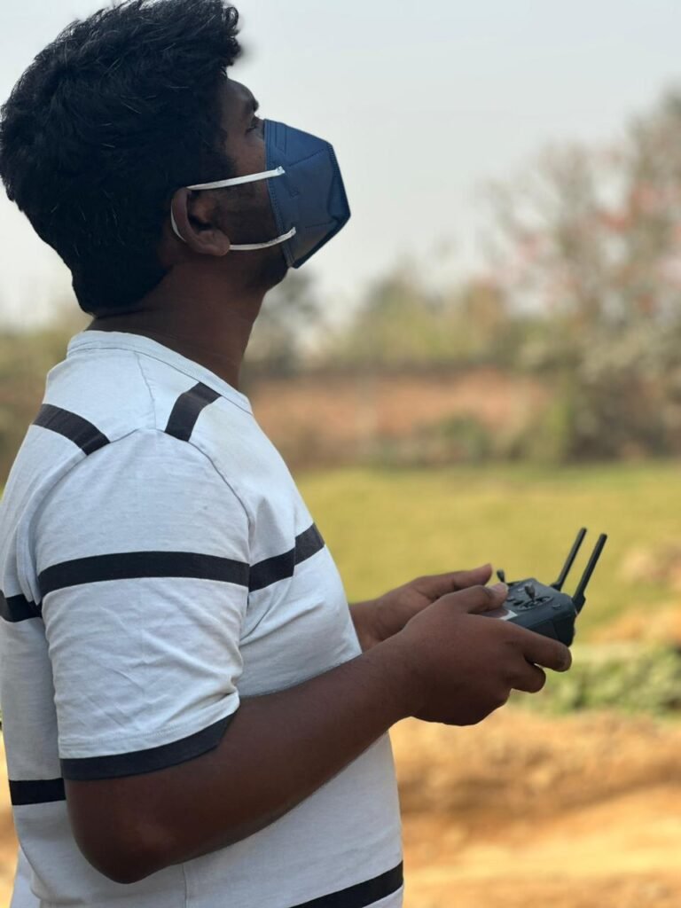
Navigating the Tamil Nadu Real Estate Regulatory Authority (TNRERA) requirements can be challenging. At Anvation Drones, we specialize in simplifying this process. With our proven expertise in the drone service industry, we deliver high-quality, GPS-tagged aerial photographs and documentation tailored for real estate project registration.
Our Core Services
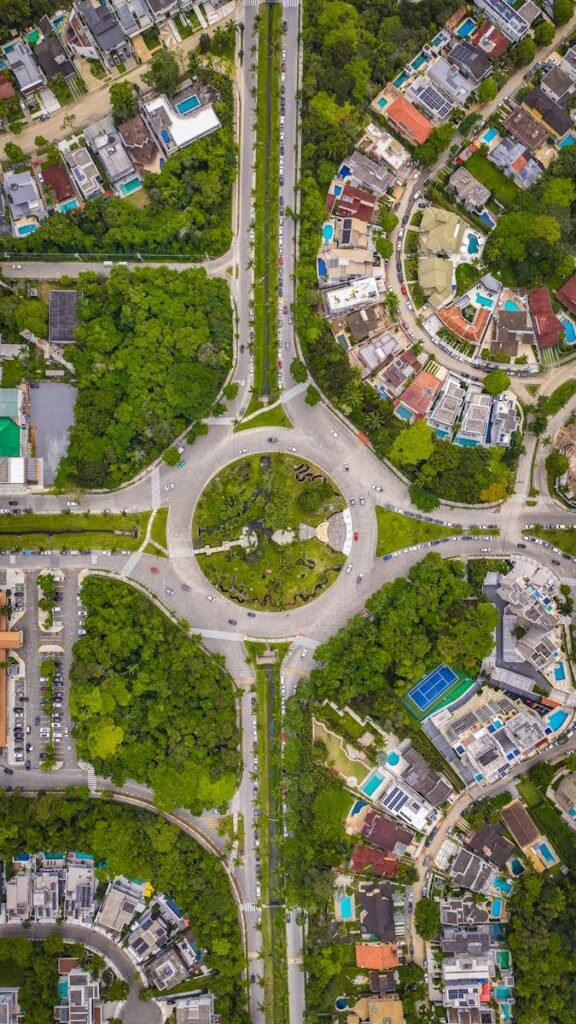
Layout Site Photography
Aerial photographs covering the entire layout with precise latitude and longitude coordinates.
High-resolution images tailored to TNRERA requirements.
Before-and-After Documentation
Visual evidence for LT/HT line removal.
Time-stamped, GPS-enabled photographs for compliance.
Aerial Mapping and Progress Reports
Drone-generated visual reports to showcase project completion and updates.
Assistance in integrating visuals into required formats (PDF/Excel).
Marketing Support
360° panoramic views and virtual tours to enhance property presentations.
Why This Service is Essential
TNRERA mandates drone-captured layout site photographs and visual evidence for project registration. Non-compliance can lead to penalties or delays in project approvals. Anvation Drones ensures:
Adherence to regulatory guidelines.
Quick and accurate documentation.
Enhanced transparency and credibility for your real estate projects.
How It Works
Contact Us
Reach out to schedule a consultation.
Drone Survey
Our team captures high-resolution aerial images of your project site.
Documentation
We deliver GPS-tagged photographs and visual reports in required formats.
Submission Assistance
Get help integrating our deliverables into your TNRERA application.
Who Can Benefit?
Real estate developers and promoters.
Property agents and brokers.
Architects and structural engineers.
Why Work with Us?
Proven expertise in the drone service industry.
Fast turnaround times.
Compliance-focused services tailored to Tamil Nadu’s real estate norms.
LET'S FLY
Start Your TNRERA Aerial Projects With Us.
Don’t let compliance delays slow down your project. Book Anvation Drones’ TNRERA Compliance Drone Services now and ensure a smooth registration process.