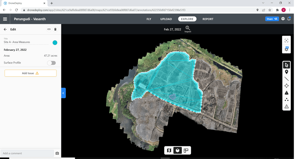
Our aerial mapping services use drones equipped with specialized software to create detailed maps and 3D models of large areas. This service is ideal for urban planning, agriculture, and other industries that require accurate and up-to-date spatial data. Our experienced drone pilots work closely with clients to ensure that their specific mapping needs are met, and our advanced technology ensures that the resulting maps and models are of the highest quality.

Our drone thermography service uses infrared cameras mounted on drones to capture thermal images of buildings, structures, and other objects. These images can reveal temperature differences and are used to identify areas of energy loss, water damage, and other issues.
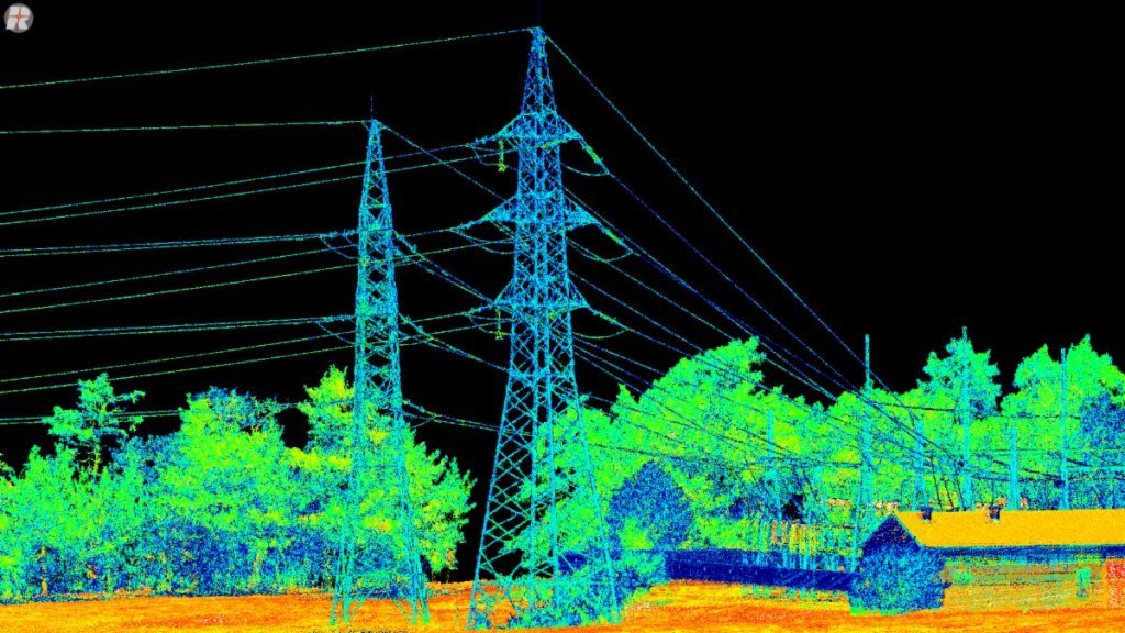
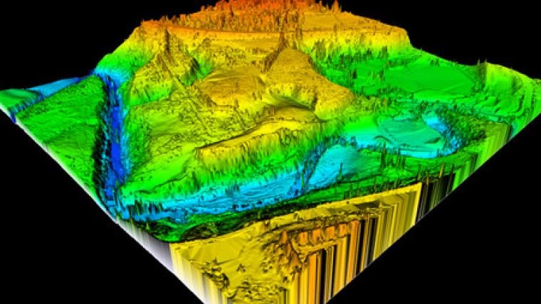
Our LiDAR mapping service uses laser pulses to create highly accurate and detailed 3D maps of the terrain and objects below. Ideal for forestry, mining, construction, and infrastructure planning, we use advanced software to process the LiDAR data and create detailed 3D maps and models for a range of applications.

Our drone volumetric analysis services use advanced drone technology and software to accurately measure the volume of stockpiles, material piles, and other objects. This service is ideal for businesses in the mining, construction, and agriculture industries that need to track inventory and manage resources.
Our photogrammetry services use specialized software to create 3D models and maps from drone images, while our LiDAR data processing services transform LiDAR data into detailed 3D models of terrain and objects. Our data analytics services use machine learning and other advanced techniques to extract insights and patterns from large datasets.

Our drone training services provide comprehensive training programs for individuals and businesses looking to obtain their drone pilot license or improve their drone piloting skills. Our experienced instructors offer both classroom and hands-on training to ensure that our students have a thorough understanding of drone regulations, safety procedures, and best practices for drone operations.