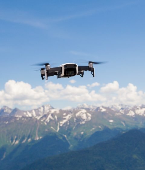


We are a professional team of experienced drone pilots and Engineers who specialize in providing a wide range of drone services to a variety of industries and applications


About Us
We are a team of like-minded Aeronautical Engineers and Software Developers with advanced aerial skills in Enterprise-grade drones and sensor equipments to bring picture-perfect data for almost all the projects


Why Choose Us


Directorate General of Civil Aviation (DGCA) Certified drone pilots for Medium Category drones. We are certified to fly drones upto 150 kg in Indian Airspace.

Fastest growing service provider in advanced technologies like LIDAR mapping, Multispectral and Thermal mapping.

Our team has more than 10 years of experience in the drone technology and its applications over various industries.

Full-time technical support pan India


Enterprise-Grade drones and sensors

Equivalent Focal Length: 24mm, 48MP

Radiometric FLIR lepton 3.5 module with a resolution of 160*120 or 19,200 pixels


640 × 512 resolution and supports point and area temperature measurement, high temperature alerts, color palettes, and isotherms

30 mins flight time at highest radiation period secures more data

Our extensive projects on different verticals


Lorem ipsum dolor sit amet, consectetur adipiscing elit, sed do eiusmod tempor incididunt ut labore et dolore magna aliqua.


Drop your mail ID, our team will contact you.
Copyright©2021 Anvation Aerial Drone
Privacy Policy
Term & Services