/conte
Drones equipped with multispectral cameras help farmers monitor crop health, detect pest infestations, and optimize irrigation. This technology is revolutionizing farming by making it more data-driven and sustainable.
From mapping large construction sites to monitoring progress in real time, drones save time and reduce costs. High-resolution imagery and 3D models created by drones help stakeholders make informed decisions.
Aerial photography and 360° virtual tours powered by drones are becoming standard in real estate. They provide potential buyers with immersive property views, boosting sales and engagement.
Drones are making powerline, wind turbine, and pipeline inspections safer and more efficient. Equipped with thermal sensors, they can quickly detect faults without risking human safety.
During natural disasters, drones are used to assess damage, locate survivors, and deliver essential supplies. Their speed and maneuverability make them invaluable in emergency situations.
From tracking wildlife to monitoring deforestation, drones are playing a critical role in environmental conservation. They provide researchers with data that would otherwise be difficult or dangerous to collect.
The rise of drone delivery services is revolutionizing logistics. Companies are using drones to deliver goods faster, especially in remote or congested areas.
Filmmakers and content creators are leveraging drones to capture stunning aerial shots. The cost-effectiveness of drones has made high-quality aerial footage accessible to all.
Drones provide high-resolution maps and models that are essential for urban planning. They assist in designing smarter cities by offering accurate, real-time data.
Drones are increasingly used for perimeter surveillance, crowd monitoring, and event security. Their ability to provide live footage makes them a valuable asset for law enforcement and private security.
The drone revolution is here, and its impact is only growing. As industries adopt drones at scale, they’re discovering new ways to boost productivity, reduce costs, and improve safety. The future of drones is not just about flying; it’s about redefining the way we work.
Key Differences in Data Collection Methods When it comes to drone surveying, two big players dominate the field: LiDAR and photogrammetry. Both methods have their
/conte Drones have evolved from being hobbyist gadgets to essential tools across various industries. As we step into 2025, these flying marvels are reshaping workflows,
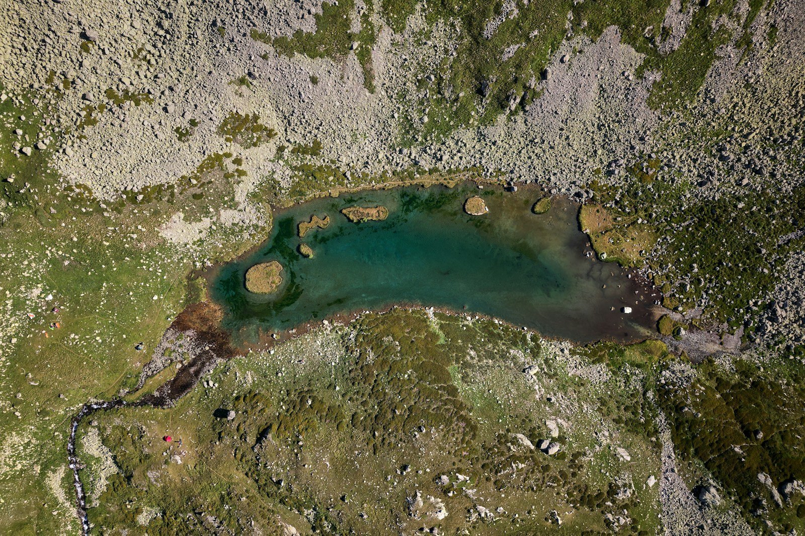
Welcome to an exclusive virtual tour of our expansive 600-acre property, strategically located in a prime area. This vast, undeveloped land is the future site
Drop your mail ID, our team will contact you.
Copyright©2025 Anvation Drones
Privacy Policy
Term & Services